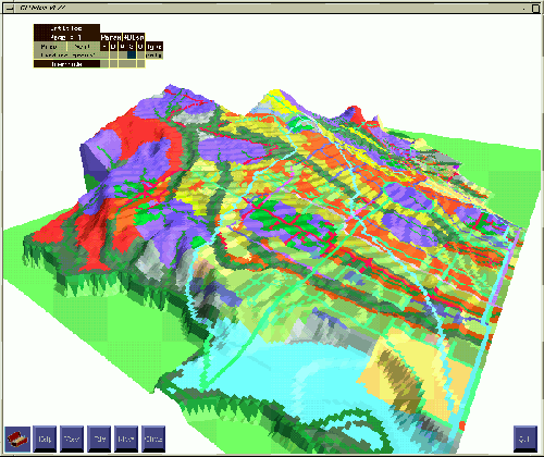
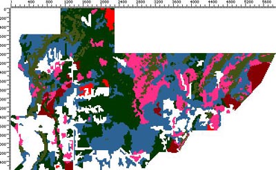
GeoffreyKatzHomepage Home   Information Architecture   Wilderness Gardens   Blog   Virtual Landscape   About Geoffrey Katz   Contact


Academic Experience


Cartographic modeling of the landscape (in 2d) and virtual exploration of the landscape (in 3d) -- Instruction at the University of British Columbia in the Landscape Architecture Program 1994-96
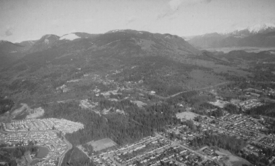
"Open Space Planning" at the University of British Columbia's Landscape Architecture Program consisted of a double-weighted practical studio course in which students addressed environmental planning and landscape design issues.


Students learned

  • to gather large-landscape spatial information
  • to assemble the gathered information as a geographic digital database (create GIS "layers")
  • to develop environmental policy and planning strategy based on preferred value systems
  • to create rule-based prescriptive cartographic models for landscape intervention (in 2d) i.e., planning proposals
  • to cast 2d models into 3d representations and to visually explore planning and design issues
  • to create and shape spaces architecturally at a broad scale
Student plan proposal draped over terrain
Silver Valley Planning area, Coquitlam, BC
2d modeling was carried out on a mac platform with the desktop GIS application macGIS from the University of Oregon. 3d modeling was carried out on a Unix platform with the application CLRview from the University of Toronto. Other work (e.g., capturing text and images) was carried out on a PC platform using Adobe Photoshop, Microsoft Word, etc.
vegetation by vulnerability to change